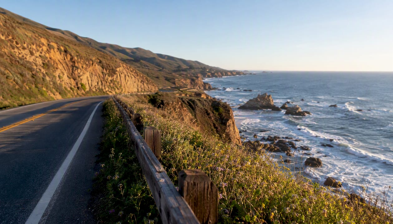
Pick one focused loop and you’ll have a better trip than someone who tries to cover all of SoCal in a week. The Pacific Coast Highway (PCH / Highway 1) makes the best backbone for a coastal loop. Add Joshua Tree or Santa Barbara depending on your days, fly into LAX or SAN, and lock in a rental car that starts and ends at the same airport to skip one-way drop fees.
Your three loop options at a glance:
- Coastal PCH loop (3 days): LAX or SNA → Malibu → Santa Barbara → Ventura → back to LAX
- Coast + city loop (5 days): LAX → Santa Barbara → Laguna Beach → San Diego → back to LAX via I-5
- Extended coast, desert, and mountains loop (7–10 days): LAX → Santa Barbara → San Diego → Joshua Tree → Palm Springs → Big Bear → back to LAX
Quick logistics before you book:
- Regional airports include LAX, SAN, SNA (Orange County), ONT (Ontario), and BUR (Burbank) — SNA is the most convenient start for an Orange County or Laguna Beach focus
- Book a midsize SUV or sedan; avoid cargo vans on PCH’s narrow coastal curves
- Spring and fall are the best seasons — desert heat peaks in summer, and mountain roads can require chains in winter
Key Takeaways
A focused loop itinerary, timed for spring or fall, is the single most effective way to get an authentic Southern California road trip without spending half your days in traffic.
| Point | Details |
|---|---|
| Pick one loop | Choose coastal PCH, coast + city, or desert + mountains based on your trip length. |
| Best entry airports | LAX and SAN are the most flexible; SNA suits Orange County and Laguna Beach starts. |
| Spring and fall timing | Mild weather across coast, desert, and mountains; avoid summer desert heat and winter mountain chains. |
| Budget baseline | Plan $150–$250 per day mid-range, plus $35 vehicle entry at Joshua Tree and $60–$100/day for a rental car. |
| Socalsights planning | Community-sourced itineraries, hidden-gem dining, and local parking tips at southerncalifornia.site. |
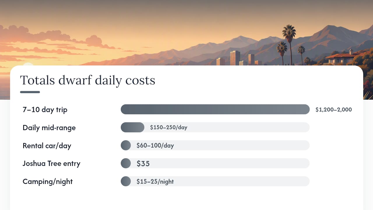
Table of Contents
- How much does a Southern California road trip cost?
- What to pack for coast, mountains, and desert
- Where to stay along the route
- Where to eat on a SoCal road trip
- How to beat traffic and save time on the road
- Safety tips for driving Southern California
- What locals actually know about planning this trip
- Socalsights makes the planning part easy
- Sources
How much does a Southern California road trip cost?
Budget roughly $150–$250 per day for a mid-range trip covering gas, food, and a modest hotel. A 3-day coastal loop runs around $500–$750 total (excluding flights). Stretch to 7–10 days and expect $1,200–$2,000 depending on accommodation choices. Car rentals average $60–$100 per day through major agencies at LAX or SAN. State park day-use fees at Joshua Tree run $35 per vehicle. Camping inside Joshua Tree costs $15–$25 per night and requires advance reservations through Recreation.gov.
What to pack for coast, mountains, and desert
SoCal’s terrain shifts fast. A morning in Santa Barbara is 65°F and breezy; an afternoon in Joshua Tree can hit 95°F. Pack for both.
- Layers: a light fleece or windbreaker for coastal evenings and mountain mornings
- Sun protection: SPF 50+, a wide-brim hat, and UV-blocking sunglasses for desert days
- Footwear: trail shoes for Joshua Tree hikes, sandals for beach towns
- Water: a refillable 32 oz bottle minimum; carry extra in the car for desert stretches
- Car kit: phone mount, portable charger, paper map (cell service drops in mountain and desert areas)
Where to stay along the route
Coastal: Santa Barbara’s State Street corridor has boutique hotels ($180–$300/night) and a few well-reviewed motels closer to $120. Laguna Beach runs pricier; budget travelers do better staying in nearby Dana Point. For a splurge, the Montage Laguna Beach sits directly above the ocean.
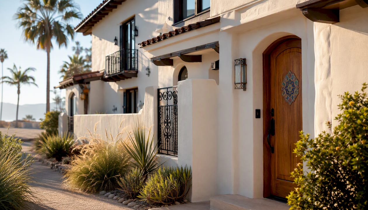
Desert: Palm Springs has mid-century modern hotels that are genuinely fun to stay in, ranging from $100 budget motels to $400+ design resorts. Joshua Tree’s gateway towns (Twentynine Palms, Yucca Valley) offer vacation rentals and small inns that book out weeks ahead in spring.
Mountain: Big Bear Lake has cabin rentals and lakeside lodges, typically $150–$250/night, that work well as a one-night mountain detour before looping back toward LA.
Where to eat on a SoCal road trip
Food is one of the best reasons to take this trip slowly. A few stops worth planning around:
Santa Barbara: La Super-Rica Taqueria on Milpas Street is a James Beard Award-winning taco stand that Julia Child called her favorite Mexican restaurant in the country. Cash only, line out the door, absolutely worth it.
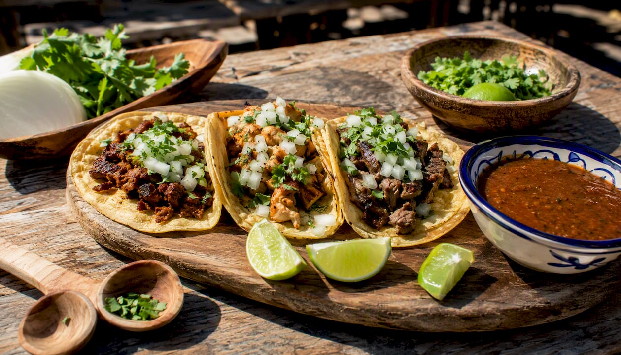
Laguna Beach: The Cliff Restaurant has the ocean view, but locals eat at Nick’s Laguna Beach for the fish tacos without the tourist markup.
San Diego: Barrio Logan’s taco shops along National City Boulevard and the Convoy District’s Korean BBQ and Vietnamese pho spots are where locals actually eat. Old Town is fine for atmosphere, not for the food.
Palm Springs: Cheeky’s on North Palm Canyon Drive does a rotating weekend brunch menu that draws a line by 9 AM. Arrive early or expect a 45-minute wait.
Pro Tip: The 100+ SoCal Sights list on Socalsights includes community-sourced dining picks and local food stops that don’t show up on the usual travel blogs.
How to beat traffic and save time on the road
LA traffic is a real variable. The 405 and I-10 during morning and evening commutes (roughly 7:00–9:00 AM and 4:00–7:00 PM) can turn a 30-minute drive into 90 minutes. Plan your drives to leave cities before 7 AM or after 7 PM when possible.
PCH itself slows down on summer weekends between Malibu and Santa Monica. If you’re driving that stretch, a Tuesday or Wednesday morning is a different experience entirely. For the desert leg, the drive from San Diego to Joshua Tree via I-10 is smooth and fast outside of Friday afternoon.
Waze and Google Maps both handle SoCal traffic well in real time. Download offline maps for Joshua Tree and Big Bear before you leave cell range.
Safety tips for driving Southern California
A few things that don’t always make the travel blogs:
Wildfire awareness: Southern California’s fire season now runs nearly year-round, with the highest risk from October through January when Santa Ana winds peak. Check CAL FIRE before driving mountain routes, and know that road closures can happen with little notice.
Desert heat: Never leave pets or children in a parked car. Carry at least one gallon of water per person per day in Joshua Tree. If your car overheats, pull over and turn off the AC before the engine.
Mountain driving: Big Bear and the Angeles National Forest roads can require tire chains from November through April. Check Caltrans road conditions at Quickmap before heading up.
Coastal cliffs: PCH has several stretches where the shoulder drops sharply. Pull into designated turnouts for photos, not onto the road edge.
What locals actually know about planning this trip
There’s a version of a SoCal road trip that looks great on paper and feels exhausting in real life: six cities in seven days, three hours of driving every day, and no time to actually sit somewhere and feel like you’re there.
The trips that work are the ones built around a single region done well. A focused sub-region approach means you spend an afternoon at Heisler Park in Laguna Beach instead of just photographing it from the car. It means you catch sunrise at Joshua Tree’s Skull Rock instead of arriving at noon when it’s 100°F and crowded.
Loop itineraries also solve a practical problem most people don’t think about until they’re booking: one-way rental fees. Starting and ending at the same airport keeps that cost down and makes your flight timing much easier to manage.
One local tip that doesn’t get enough attention: swap one coastal day for a mountain or desert detour. Most visitors spend all their time on PCH and never make it to Big Bear or Idyllwild. Those mountain towns are an hour from the coast and feel like a completely different state.
Socalsights makes the planning part easy
Planning a SoCal road trip means sorting through hundreds of “best of” lists that all recommend the same five spots. Socalsights cuts through that with community-sourced guides built by people who actually live here.

The SoCal Sights Adventure Overview gives you curated route maps, hidden-gem dining picks, and day-by-day itinerary templates that include the parking tips and scenic pullouts the generic guides skip. The 100+ SoCal Sights list is a practical starting point for mixing iconic stops with local favorites your fellow travelers won’t have on their itineraries.
For businesses and locals who want to contribute their own favorite spots, the membership page is where to start. Browse the full guide and start building your itinerary at southerncalifornia.site.
Sources
These are the sources worth bookmarking before you finalize your route.
- FlyLAX
- Travel + Leisure
- Pacific Coast Highway South | Visit California
- Southern California Road Trip: 1 Week Itinerary (Updated 2026) — Nomadic Matt